📝 Blog
📣 Subscribe with RSS
Note
📝 Meeting notes have been moved to the GeoJupyter team compass.

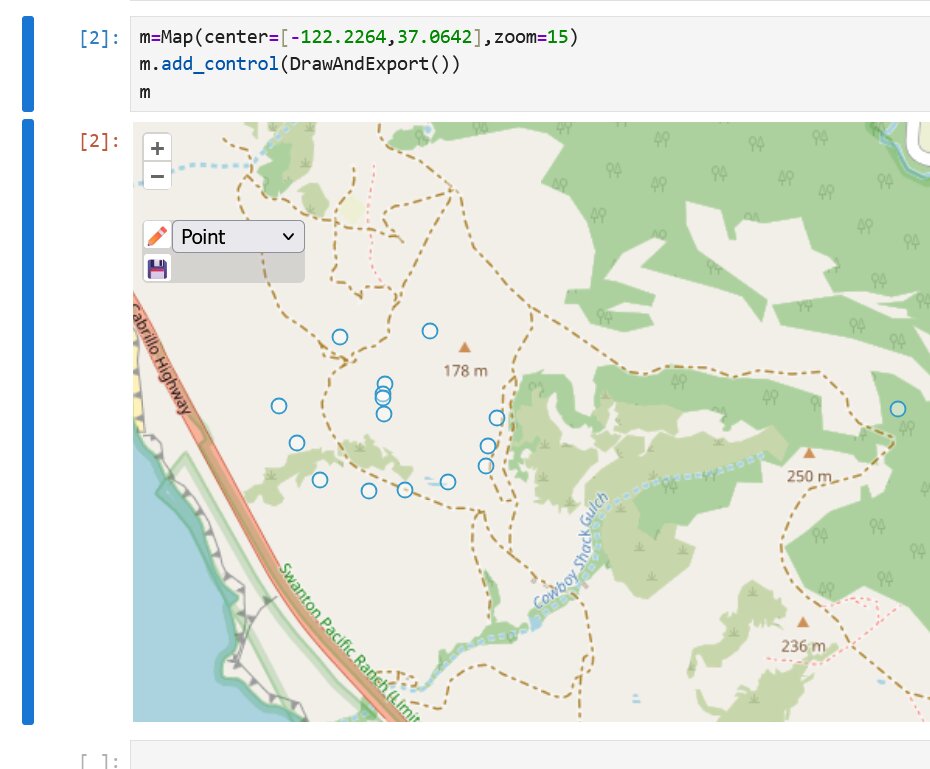
Exploring Reproducibility in Geospatial GUIs Through Code Generation
Experiments
Map2Cell is a prototype version of ipyopenlayers that explores features to enable scientific reproducibility in GUI-driven geospatial workflows.
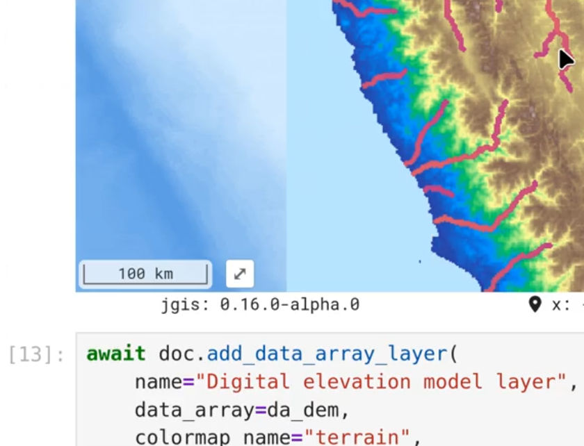
Announcing jupyter-tiler!
Announcements
jupyter-tiler enables users of Jupyter interactive map widgets (like JupyterGIS) to visualize large raster datasets without switching tools or worrying about file formats by leveraging dynamic tile servers under the hood (currently supporting TiTiler or Xpublish).



No matching items